Log in
All resources
Create a design
86 Free Artworks of Maps Of East Asia
koninklijke bibliotheek
engraving on paper
bibliothèque nationale de france
maps by jakob van der schley
jakob van der schley
maps of the dutch east india company - china
navigantium atque itinerantium bibliotheca
maps by emanuel bowen
emanuel bowen
old maps of the dutch east india company
the voyage of the vega round asia and europe
third voyage of willem barentsz
19th-century maps of the malay archipelago
19th-century maps of southeast asia
old administrative maps of the ottoman empire
1909 maps of asia
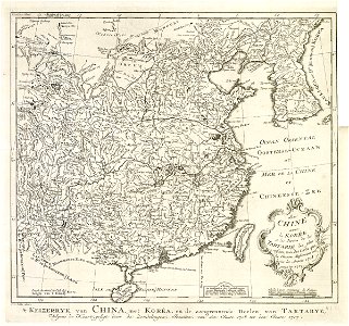
maps of the dutch east india company - korea
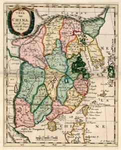
maps of the dutch east india company - china
maps by thomas kitchin
willow palisade
old maps of the south china sea
1680 maps of asia
navigantium atque itinerantium bibliotheca
18th-century maps of south asia
old maps of the dutch east india company
old maps of the south china sea
hendrik van langren map of south asia
1596 maps of asia
maps of the dutch east india company - china
1705 maps of asia
maps of the dutch east india company - sri lanka
maps of the dutch east india company - burma
19th-century maps of southeast asia
aristide-michel perrot
hendrik van langren map of south asia
16th-century maps of the near east
cornelis de jode
1578 maps
cornelis de jode
1579 maps
1801 map of turkey in asia by john cary
1801 maps of the ottoman empire
maps by willem and johannes blaeu
1638 maps of asia
1677 maps of asia
georg widmann
maps of the dutch east india company - korea
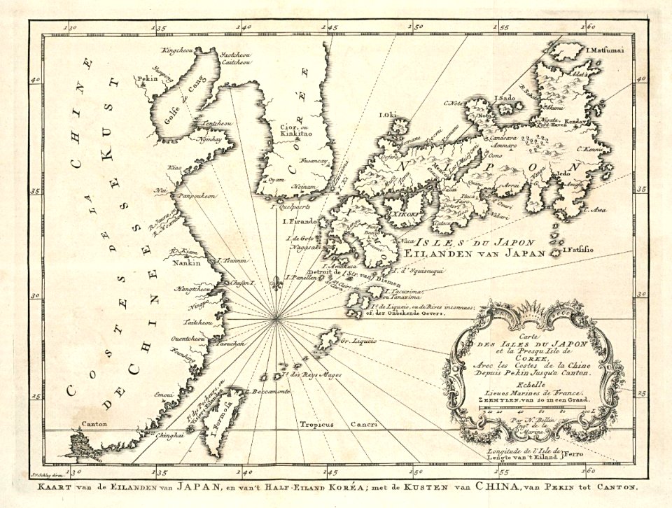
maps of the dutch east india company - japan
maps of the history of the middle east
maps of 12th-century asia
maps by giacomo gastaldi
maps by gerard de jode
description de l'universe
1719 maps of turkey
die grund-regeln der bau-kunst
old maps of southeast asia
old maps of the dutch east india company
1705
media from atlas of mutual heritage on dutch east india company
1665
old maps of southeast asia
maps by thomas starling
map collection of leibniz-institut für ost- und südosteuropaforschung
18th-century maps of siberia
hendrik van langren map of south asia
1595 maps of asia
maps of the dutch east india company - iran
old maps of the dutch east india company
maps by willem and johannes blaeu
17th-century maps of asia
van langren map of southeast asia
1595 maps of asia
maps of the dutch east india company - china
1749 maps of asia
maps of the dutch east india company - china
1749 maps of asia
maps from the earth and its inhabitants, vol. ix
ethnographic maps of asia
17th-century maps of the near east
description de l'universe
historisk atlas (stockholm, norstedt & söner, 1880)
maps of 14th-century europe
maps of asia by mercator-hondius
hendrik van langren map of south asia
1595 maps of asia
maps of the dutch east india company - thailand
old maps of the dutch east india company
maps by daniel lizars
1820 maps of asia
english-language maps
1747 maps of asia
18th-century maps of the indian ocean
18th-century maps of southeast asia
russo-turkish war (1877–1878) in art
great eastern crisis (1875–78)
19th-century maps of the malay archipelago
19th-century maps of southeast asia
maps facing east
anton wied
1840s maps showing history
maps by thomas starling
18th-century maps of the malay archipelago
18th-century maps of southeast asia
maps of the dutch east india company - korea
maps of the dutch east india company - china
16th-century maps of the middle east
propaganda map
maps by thomas starling
1842 maps
maps of saint paul's journeys
maps by thomas starling
cornelis de jode
1579 maps
maps of the dutch east india company - iran
old maps of the dutch east india company
maps of the malay archipelago by mercator-hondius
van langren map of southeast asia
renaissance
maps of south asia by mercator-hondius
maps by john cary
1801 maps
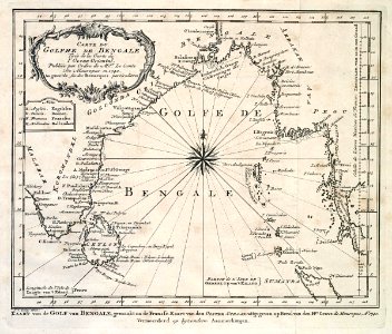
maps of the dutch east india company - bengal
maps of the dutch east india company - india
old maps of the russian empire
1790s maps of alaska
1740s maps of taiwan
1749 maps of asia
maps of the dutch east india company - sri lanka
1750 in asia
sanson maps of the holy land
old maps of canaan
18th-century maps of the malay archipelago
1790s maps of china
maps by nicolas sanson
guillaume sanson
english-language maps
maps by john cary
old maps of the dutch east india company
1747 maps of asia
maps by girolamo ruscelli
maps by girolamo porro
select views in india, drawn on the spot, in the years 1780, 1781, 1782, and 1783
british library asia, pacific and africa collections
daniel de la feuille
1706 maps of europe
maps by emanuel bowen
1744 fleurons
jean-fréderic phélypeaux
guillaume dheulland
navigantium atque itinerantium bibliotheca
1744 fleurons
chinese horrors and persecutions of the christians; containing a full account of the great insurrection in china
maps of east asia
18th-century maps of antarctica
1741 maps
navigantium atque itinerantium bibliotheca
1744 fleurons
maps in the rijksmuseum amsterdam
old maps of the ottoman empire
maps by joachim bormeester
1680s maps of the world
mappe-monde geo-hydrographique (sanson and jaillot, 1674)
cartography of france
maps by emanuel bowen
1744 fleurons
1740s maps of the world
maps by emanuel bowen
maps by joachim bormeester
1685 maps
mappe-monde geo-hydrographique (sanson and jaillot, 1674)
navigantium atque itinerantium bibliotheca
1744 fleurons
a picturesque tour along the river ganges and jumna in india (1824)
british library asia, pacific and africa collections
itinerario (jan huygen van linschoten)
baptista van doetecum
german renaissance
1744 fleurons
1 - 86 of 86
/ 1